
Three questions
So I’ve outlined the positives and negatives that I experienced while trying to learn and use GPlates to draw the foundations of a map. For me the negatives just outweigh the positives, but I stand by my assertion that there are definite positives to at least attempting plate tectonics before settling on a finalised map. I am a strong proponent of finding novel ways of breaking out of your own patterns and preconceptions, and coming to unexpected results in doing so, and I think treating your world as the result of a bunch of collisions and rifts, as opposed to a set of pre-defined shapes, can change how you think about it. It’s still an extra time sink, and it’s still debatable as to whether it is even useful to mess about with cartography to begin with if you’re mostly just there purely for the narrative drama. That said, as a map is often the first place that people start with when worldbuilding – whether for a novel, a table top campaign, a game setting, etc. So that being the case, it’s worth considering.
Is it even worth it?
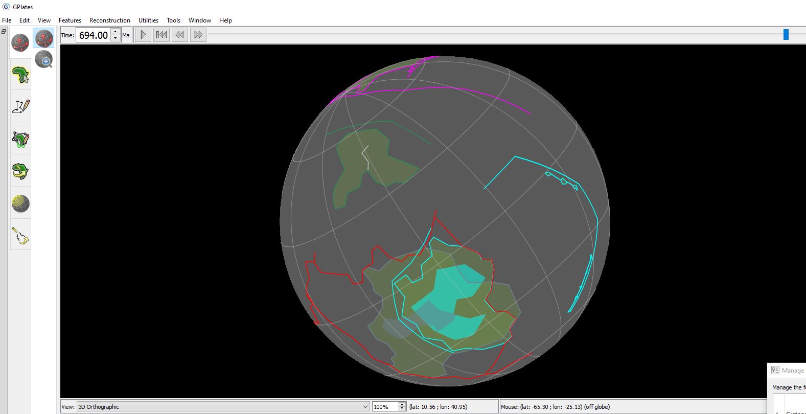
So, as outlined in the last post, I crashed out on GPlates. I’m sure I could have gone back and scrolled through video 3 or whatever, and figured out how and where, followed steps 5 through 10, and got two separately operating bits of crust flying off to hit other bits of digital continent. But this kind of work inevitably multiplies and gets more confused and complex the longer it goes on, and I hadn’t even gotten to the fireworks. That’s just sort of the nature of trying to do this procedural tectonic stuff. Geology: it’s complicated. Who knew?
I think the general idea of using GPlates to accurately model plate tectonics is really cool, but as a practical tool, the program is far too fiddly. The time demand vs the practical outcome just make the cost-benefit analysis for the average person extremely unconvincing. Doing something as simple as rifting a continent and then getting to the point where you have to tell the program to un-attach cratons from crust and then reattach them elsewhere and so on and so forth is such a fiddly process for such a foundational aspect of that process that I just couldn’t envision doing it at scale. Sod it, quite frankly. As stated several times prior, I can only presume this is because it was never intended to be used like this in the first place. But as an honest look at what that experience is, intended or not, I can only conclude that this is a program that is, at best, incredibly difficult to adapt to ulterior purposes.
This is why people fudge plate tectonics together in photoshop or illustrator or whatever. Bouncing in and out of notepad++, copying crust and layers and setting disappearing times, all just so you can move some crust around, just so you can draw a digital map and imagine Sir Pilkington’s Land of the Erotic with slightly increased accuracy, is ludicrous. The basic process of rifting a plate, for instance, would be a 30-second process in Illustrator. You take the shape, divide it with the relevant tool, and off you go. You want to move two things in tandem with one another? Select them both and drag them around. Or just group them and ungroup them when/if you need to. No pissing about with notepad, no data entry, no changing what disappears when and so on and so forth. Just a relatively intuitive series of self-defined steps and layers, and you can be as granular and detailed as you like with that process on your own terms.
If you’re not doing plate tectonics in GPlates because you are 100% about the scientific accuracy of your world, then it’s just not worth it. GPlates is not designed for what you want it for. Once again: It is an academic data visualisation program for geoscientists, not a funny map simulator for you to do worldbuilding with.
Finally, let’s not kid ourselves. It doesn’t matter what you do, this is still a highly unscientific practice. As much as I don’t want to tar and feather the various associated subreddits, I tend to think a certain section of the Reddit crowd would love to convince themselves that they’re doing something even vaguely academic and respectable with this. We aren’t. We never will be. Get over it. You can dress the fictional cartography up in as fancy a suit as you like, but you still can’t march it into Morgan Stanley and expect it to get hired as a trader.
What I mean by that is that any geoscientists taking a sideways glance at all of this speculative worldbuilding might appreciate what we’re all trying to do, but at the same time they’re a hell of a lot better informed than we are, and all of our cute little rules about needing to do so and so like this and that – I’m willing to put money down on the bet that it doesn’t stand up to basic scrutiny by someone who knows how this stuff actually works. Most of us are just binging Wikipedia. It’s probably a tonne more complicated than we give it credit for, even accounting for our obsessive overthinking of something that is, effectively, completely inconsequential.
If you’re doing it for the same reason guys like Artifexian and Worldbuilding Pasta are doing it, sure. I can see going through the process – because to them the process of adhering to the science as close as they can, without literally becoming geoscientists, seems to be the point in and of itself. If you’re worldbuilding for the sake of worldbuilding, then the science is just part of the process. I respect their respective hustles. However, if the worldbuilding is, effectively, a means to an end, one part of a vector towards a piece of art, then slavishly adhering to the demands of a program that wasn’t even built for this purpose, is just a novel means of getting in your own way. Playing dress up in a lab coat is not going to make us any more scientific.
For my own part, I’d rather use all of that time to flesh out things like history and mythology, story arcs and characters. I’m never going to write a story about how two cratons were separated half a billion years ago by a continental rift driven by a subduction zone.
Is there a better way?
As I said, I’m aware that I let a fairly basic aspect of the process beat me, but it was 3 days later, and I wasn’t even at the first collision yet. 700 million years stretched out before me, accompanied by the probability of an absolute avalanche of similarly sigh-inducing scenarios arising from the program not really knowing what was attached to what and how and when to disconnect things etc, tediously redrawing lines and geometry, data entry, copying and pasting endless reams of co-ordinates and dates.
Every time I wanted to make a new bit of land, which seemed to be relatively often if you’re constantly opening new rifts and each one of those has to have at least one failed rift either side of it. Like most programs, there’s an endless array of basic things that were pretty trivial and intuitive to a human on the outside, but a computer has to achieve in the most circuitous and inefficient fashions. And, again, this was just a test project I was using to get my bearings with the program. If I’d wanted to try to do a full project, I’d have literally two to three times the work. At every step.
Like I said, I can’t help but think that I could open up Illustrator or Photoshop or Gimp or whatever, and effectively reconstruct the same equivalent process with about a tenth of the work and faff. It’d probably be a tonne of layers – but GPlates wants a tonne of subfolders to reference anyway, so in terms of data entry, there isn’t that much difference – once you’ve cut out all the messing about with Notepad++, there’s almost certainly less.
Some people draw the map first and then try to apply the tectonics, which I can see, but I also think you’d get the same problem of a map not making a great deal of ‘sense’, just with more fluff to poke holes in. In theory, if you tried to ad hoc simulate a bunch of plates moving around, rifting, and colliding and so on, you’d get a map that you might not have expected to get, but also that makes more sense from the standpoint of ‘authenticity’. To be honest, at this point, I’m not even sure how applicable terms like ‘sense’ and ‘authenticity’ are.
What did I learn?
It’s not a total waste of time. I really did have to engage with, and learn, at a very basic level, some interesting concepts for how to think about island chains, and mountain formation, and continent and landmass formation that makes more sense than just throwing beans on a page or relying on the whims of a random fractal noise generator, or whatever. I’ll probably go back and watch a few Artifexian videos if I want to understand something I’m not sure about. We’re all aware that we shouldn’t split rivers and mountains arise when tectonic plates collide and valleys from rifts and earthquakes, but trying to apply these abstract concepts to fictional geology is not the most intuitive thing. So people kind of throw down mountain ranges and hope for the best, because how the hell around you supposed to keep track of all of this stuff?
That’s the thought process, right? Sure, dump down mountains, and you could say “err, yeah, there was a tectonic plate that collided here billions of years ago,” but for some of us there’s a weird voice that demands to know whether or not it ‘makes sense’ that a plate would collide in that place to begin with. Or whether it is believable that there are a bunch of islands over there… why would they be there? The draw of wonky plate tectonics is that it contextualises the rice.
I’m glad I got it out of my system. It ended more or less how I imagined it would. If I think about it some, I can probably come up with some kind of intuitive process that might approximate some kind of tectonic simulation, that doesn’t involve trying to jump through an increasingly convoluted series of hoops, hoping all the while that one of them doesn’t break, in order to do what people have been doing with piles of rice or Perlin noise functions, for decades. I’m the kind of weird idiot who will actually enjoy the faux-authenticity of having a world that makes “more sense”, despite knowing that the science folk could point out a thousand errors per square inch, because actually the gulf stream would influence rainfall like this and so you would never get a forest in that place because of coastal pressure bands from the Tropic of Cancer and the Westerlies, so you’d actually have… but whatever.
There is no prize
Ultimately, the percentage of people who are going to know whether or not you tried to apply geological principles to fictional map making is small. Very small. The percentage of people who care whether you did or not, is a fraction of that.
If you’re in the worldbuilding scene for the challenge of trying to, effectively, reverse engineer the formation of the earth, I can only respect your intentions. I respect the hell out of people who have the patience for GPlates, I’m glad I tried, but as a storyteller this is an infinitely pointless exercise. Try it out, see if you vibe with it, but start extremely small, because the details and the loose threads become a serious obstacle extremely fast.
I’m not saying don’t bother, full stop. I think it’s worth giving the process a go. You might find something you like in it, and you might find that you have more patience than I do. But I also think there are far better, if admittedly less accurate, ways to achieve the same results from a pragmatic perspective, and that will be more than enough for 99.9% of fictional cartographers.

Leave a comment